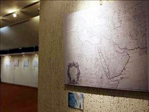
Addressing the inaugural ceremony, Jannati said that the museum will display credited historic maps of the Persian Gulf.
Historic maps drawn by Europeans from 500 years ago up to now are on show in the museum, he said, noting that the major international waterway is referred to as the Persian Gulf by all the maps.
The minister also said that Persian Gulf is a section of Iran’s civilizational identity and the historic maps reveal a great empire, with the Persian Gulf as a key part of it.
Some 32 historic maps featuring the Persian Gulf from different eras are currently on public display in the museum.
