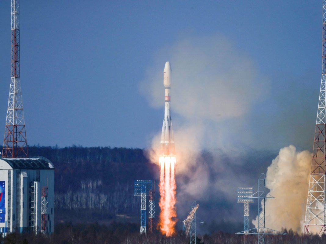
The Pars-1 satellite, weighing 150-kilograms, was blasted off aboard Soyuz launch vehicle from a Russian space base.
Iran’s Minister of Communications and Information Technology Issa Zarepour had announced the scheduled launch a day earlier.
The satellite is capable of capturing images of 95 percent of Iranian territory to provide a set of remote sensing data used in various fields, including land, forest and water monitoring as well as mining and energy transmission.
Iran is among the world’s top 10 countries in the world capable of developing and launching satellites.
Last month, it successfully put into orbit homegrown Mahda, Keyhan-2 and Hatef-1 satellites with a maximum altitude of 1,100 kilometers above the earth’s surface.
Last year, Iran launched Khayyam satellite to monitor the country’s borders and improve the country’s management and planning of agriculture, natural resources, environmental issues, mining and natural disasters.
