Ali Sadeghi Naeini added Iran and the region face various challenges in coping with the natural disasters and using space technologies to manage crises.
“Iranian Space Agency has designed new systems for remote sensing phenomena like drought, fire, sand storms through satellite images,” he said.
According to Sadeghi Naeini, to this end, the Space Agency uses Mahdasht satellite to receive the images.
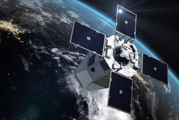
“The user systems to boarded on Pars satellite by 2024 will highly facilitate management of crises and natural disasters,” he said.
Iran ranks 11th and 32nd by respectively natural disaster risk and drought risk. Now with the new technology, the country can remotely sense the crises and manage them.
The strengthening of disaster management capacity in Iran has always been among the main goals pursued by the UN.
