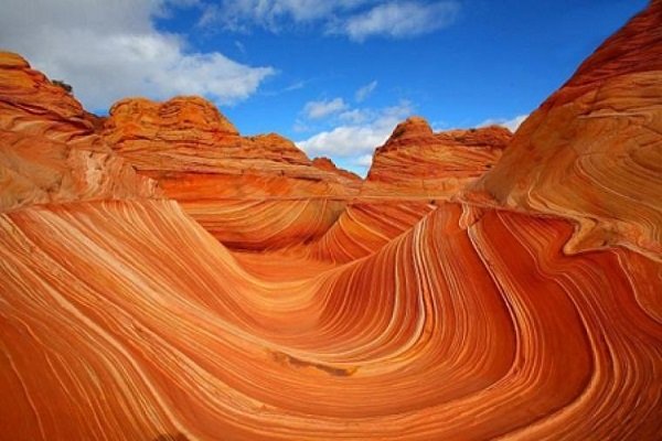
Geomorphology is one of the branches of natural geosciences, which is concerned with recognising the forms and roughness of the earth’s crust. Its scope of study is the contact point between the lithosphere and the atmosphere.
On the one hand, geomorphology is affected by the internal forces of the earth, and on the other hand, external elements such as erosion which originate in the hydrosphere and atmosphere affect it.
For a brief review of Iran’s achievements in various fields of science and technology, check the book “Science and Technology in Iran: A Brief Review”
In these pictures, several geomorphologic phenomena such marsh salt, flat mud and salt domes with tectonic landforms could be seen.
In one of these images, one of the salt domes of Semnan province can be seen in Dasht-e Kavir. Salt domes are considered as tectonic geomorphologic phenomena. These structures are created due to the ductility of the salt and its movement to the surface of the earth which create beautiful scenes.
